These days when I try to understand a place I am going to or try to find an explanation to the phenomenon that is not makings sense from simple map and reading – I try to look at topographic maps. This is simple yet brilliant discovery – a lot of history, demographics, wealth, etc. can be explained by difference in height.
- Why has Switzerland been a neutral country that has never been occupied? – It is a “kingdom of mountains” in somehow flat Europe
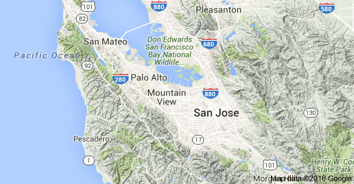
- Why is the Silicon Valley called “Silicon Valley” and why are prices of properties crazy in SFO? Well… it is a valley and there is no place to build.
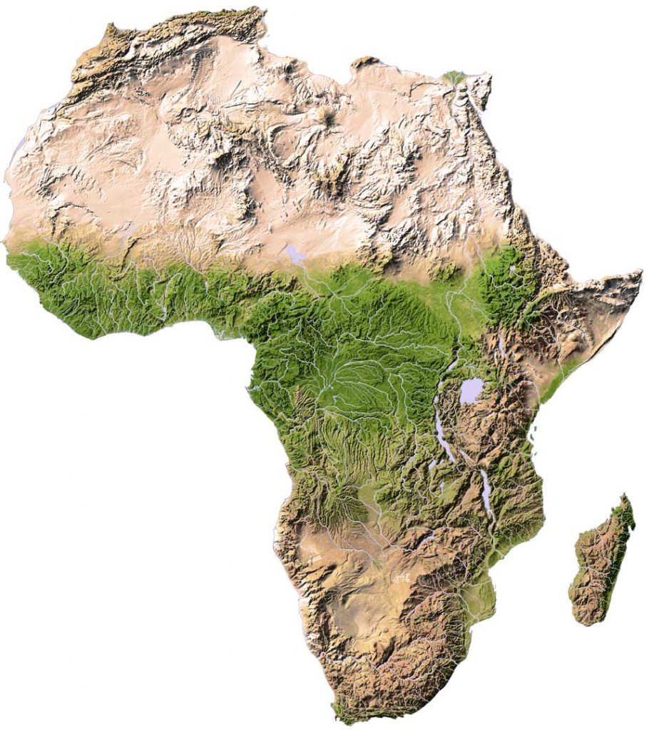
- Why is Ethiopia a country with orthodox christian religion (while surrounded by Muslim countries on the north) and why is this the only country in Africa that has never been fully colonized – it is a massive plateau with mountains reaching 4000 meters.
- Why is Tornado Valley where it is and why is “US Mid West” region in the North East part of states – east of US has been locked for a long time by Appalachian mountains which were not easily traversed back then. Warm air from south is captured between Rockies on the west and Appalachians on the east and tornadoes are formed when cold air from Canada is flowing.

Unfortunately there is no one good tool to look into 3D view of the area (Google Earth and Google Maps are a good start but they might not provide right view for out-of-US areas). You have to relay on google images. I personally love these three-dimensional maps they have in schools.
So next time you try to visit a country – check its 3rd dimension on the map.